
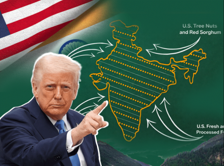
United States has quietly removed a map of India from an official trade document released by the Office of the United States Trade Representative following a formal protest from Pakistan on January 13, 2026. The map, included in the 2025 National Trade Estimate Report on Foreign Trade Barriers, originally depicted India’s territory without showing Pakistan-administered Kashmir as disputed, prompting Islamabad to lodge a strong diplomatic objection.
Pakistan’s Foreign Office described the map as “factually incorrect and politically motivated,” arguing it disregarded UN resolutions on the Kashmir dispute and undermined Pakistan’s legitimate claim over the territories. India USTR swiftly revised the report within 48 hours, replacing the map with a neutral version that excludes territorial markings for the disputed regions or uses a dotted-line representation consistent with US policy of neutrality on the Kashmir issue.
Pakistan welcomed the correction as a “positive step” toward factual accuracy in bilateral documents, while Indian officials downplayed the matter, insisting the original depiction aligned with India’s sovereign claims. The episode has reignited online debate in both countries, with social media users accusing the US of either appeasement or inconsistency.
 US Ambassador Nominee’s Iceland State Joke Sparks Backlash
  Korea’s M2-to-GDP ratio twice US., controversy renewed
  Iran Warns “We Are Ready for War” as Crackdown on Protests Intensifies
  US Energy Secretary Chris Wright Warns North Korea and Iran After Tanker Seizure
  US Slams China’s Taiwan Drills While Launching Military Operation in Venezuela
  UK Not Involved in Any Strike on Venezuela, Starmer Says