
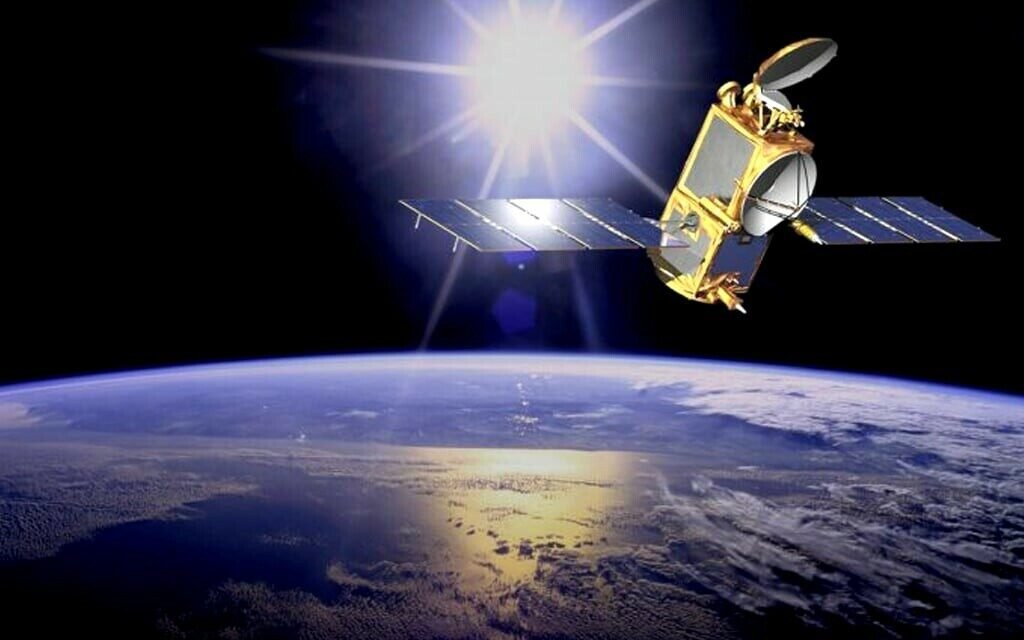
Pakistan has marked another step forward in its space technology program. The Space and Upper Atmosphere Research Commission has confirmed the deployment of an advanced remote sensing satellite, a development that could play a vital role in national planning, disaster management, agriculture, and environmental monitoring.
Services of New Remote Sensing Satellite
Remote sensing satellites are powerful tools that capture images of the Earth from space. They can provide detailed data on land use, natural resources, weather patterns, and even urban development. For a country like Pakistan, which faces challenges such as floods, deforestation, climate change, and rapid urbanization, this satellite is expected to become a critical asset.
According to experts, the satellite will help authorities improve early warning systems for natural disasters like floods and earthquakes. It can also guide farmers with accurate information about crop conditions, soil health, and water management. In addition, the satellite will support national defense and strategic monitoring.
SUPARCO’s Role in Advancing Pakistan’s Space Program
SUPARCO has been at the center of Pakistan’s space and satellite development efforts since its establishment in the 1960s. Over the past decades, it has launched satellites for communication, navigation, and remote sensing.

With the deployment of this latest advanced remote sensing satellite, SUPARCO aims to bring the country closer to self-reliance in space-based technologies. This move also reflects Pakistan’s commitment to using modern science for economic development and national security.
Potential Uses Across Different Sectors
The new satellite is expected to support several key areas of national life:
- Disaster Management: By tracking weather conditions and natural hazards, it can provide timely alerts that save lives.
- Agriculture: Farmers will benefit from satellite-based advice on crop health, irrigation, and harvesting.
- Urban Planning: Authorities can monitor city growth and plan infrastructure more effectively.
- Environmental Protection: Data on deforestation, pollution, and climate change can support better policies.
- Defense and Security: The satellite can enhance surveillance and strengthen national security.
Pakistan’s Future in Space Technology
The deployment of this advanced satellite is not the end but the beginning of more ambitious plans. SUPARCO has stated that it aims to continue expanding Pakistan’s presence in space, with future projects focused on communication satellites, navigation systems, and even regional collaborations.
This achievement also brings Pakistan into closer competition with regional players that are advancing their own space programs. For ordinary citizens, the benefits may not be visible immediately, but in the long run, better agricultural planning, disaster preparedness, and environmental protection will directly impact daily life.
 In Our Defence Podcast: Is Bangladesh Becoming East Pakistan 2.0?
  Himanta Taunts Gogoi “He Can Contest Elections in Pakistan”
  Pakistan FM IMF Cannot Impose Conditions on National Interests
  PSX Market Surges IMF Nears Staff-Level Agreement
  Pakistan’s Struggle to Reduce Poverty
  Pakistan Among Early Adopters of Wi-Fi 7 in Asia-Pacific