

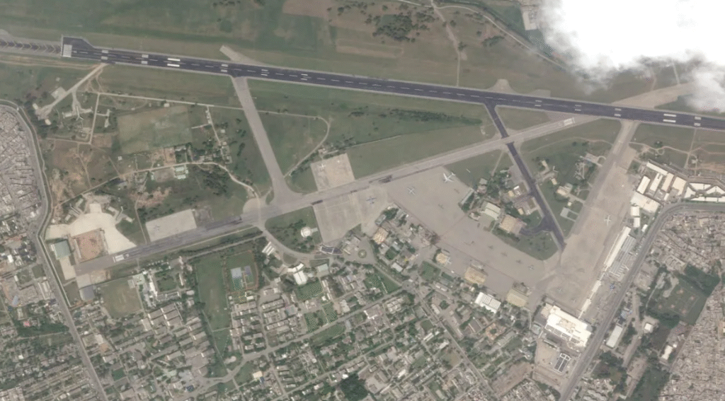
Pakistan has achieved a major milestone in its space program. On July 31, 2025, the country launched its advanced remote sensing satellite from the Xichang Satellite Launch Center in China. The Space and Upper Atmosphere Research Commission has now confirmed the satellite’s successful deployment and full operational readiness. Within days, it established stable contact with ground stations and began sending high-resolution images signaling its readiness to serve many key national sectors.
Milestone for Urban Planning and National Development
One of the most direct applications of the satellite lies in urban and regional planning. Pakistan’s cities are expanding rapidly, and planners often face challenges in tracking unregulated urban growth and infrastructure needs.

With this satellite, policymakers will now have access to high-resolution images that show how cities are spreading, how agricultural land is shrinking, and where new infrastructure is required. This will allow authorities to make better decisions about transportation, housing, and utilities.
Helps in Disaster Management and Environmental Protection
Pakistan is highly vulnerable to natural disasters such as floods, earthquakes, and landslides. Every year, these disasters cause major human and financial losses. The new satellite is expected to play a central role in disaster management.
It will provide timely data that helps detect threats early and guides rescue and relief efforts. For example, satellite images can track river flows, rainfall patterns, and flood zones, giving authorities time to prepare before a crisis escalates.
The satellite will also support environmental monitoring on a national scale. Pakistan faces serious environmental challenges, including deforestation, water shortages, and the rapid melting of glaciers in the north.
With its advanced sensors, the satellite can measure these changes and deliver accurate information to researchers and policymakers. By understanding these shifts better, Pakistan can respond more effectively to climate change and protect vulnerable communities.
Advancing Agriculture and Water Management
Agriculture is the backbone of Pakistan’s economy, and improvements in farming practices are essential for food security. This new satellite will assist farmers and agricultural planners by mapping crop patterns and identifying areas that require more attention. By using satellite data, Pakistan can introduce precision farming techniques, which involve using resources like water and fertilizer more efficiently.
The satellite also offers valuable insights for water management. Pakistan has one of the highest rates of water consumption in the world, yet it faces frequent water shortages. With advanced monitoring of rivers, lakes, and irrigation systems, the satellite can help track water use and guide better management strategies.
Supporting Major National Projects like CPE
The China-Pakistan Economic Corridor is one of the most ambitious development projects in Pakistan’s history. It involves highways, railways, energy plants, and industrial zones spread across the country. The new satellite will contribute to the success of this project by providing updated maps and images of the terrain.
Additionally, real-time monitoring of construction sites will improve accountability and efficiency. By using satellite data, planners can track progress, identify delays, and ensure resources are used effectively. This level of oversight strengthens not only CPEC but also other national projects, such as energy and transport infrastructure that are vital for Pakistan’s long-term growth.
 In Our Defence Podcast: Is Bangladesh Becoming East Pakistan 2.0?
  Himanta Taunts Gogoi “He Can Contest Elections in Pakistan”
  Pakistan FM IMF Cannot Impose Conditions on National Interests
  PSX Market Surges IMF Nears Staff-Level Agreement
  Pakistan’s Struggle to Reduce Poverty
  Pakistan Among Early Adopters of Wi-Fi 7 in Asia-Pacific